
Four use cases will be implemented across different regions of the Atlantic, providing Early Adopters with valuable insights and a deeper understanding of the environmental factors influencing their activities
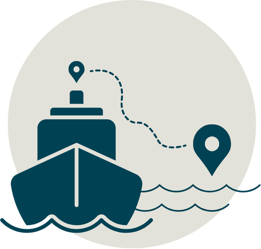
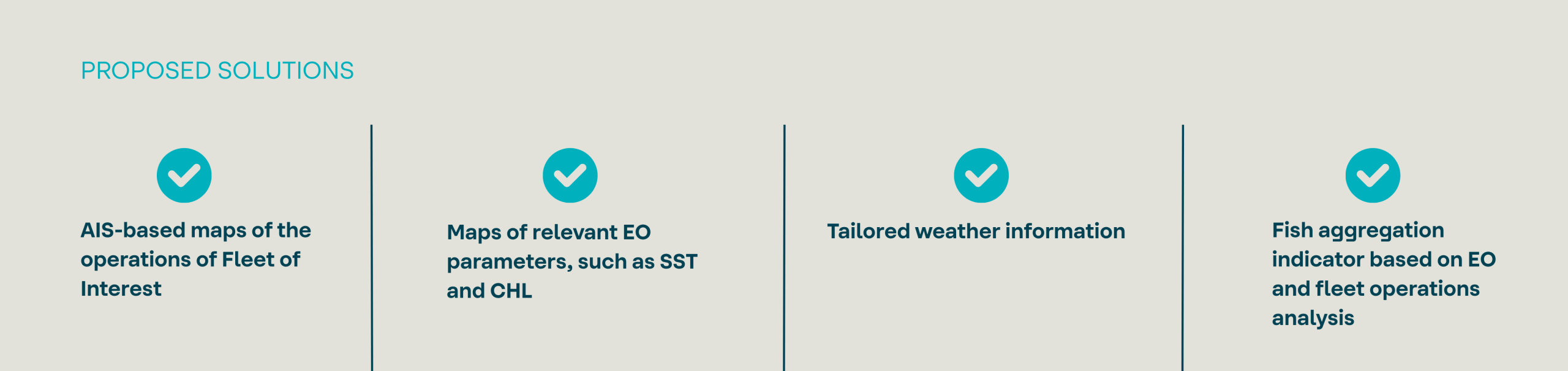
1- Route optimization for fisheries operators
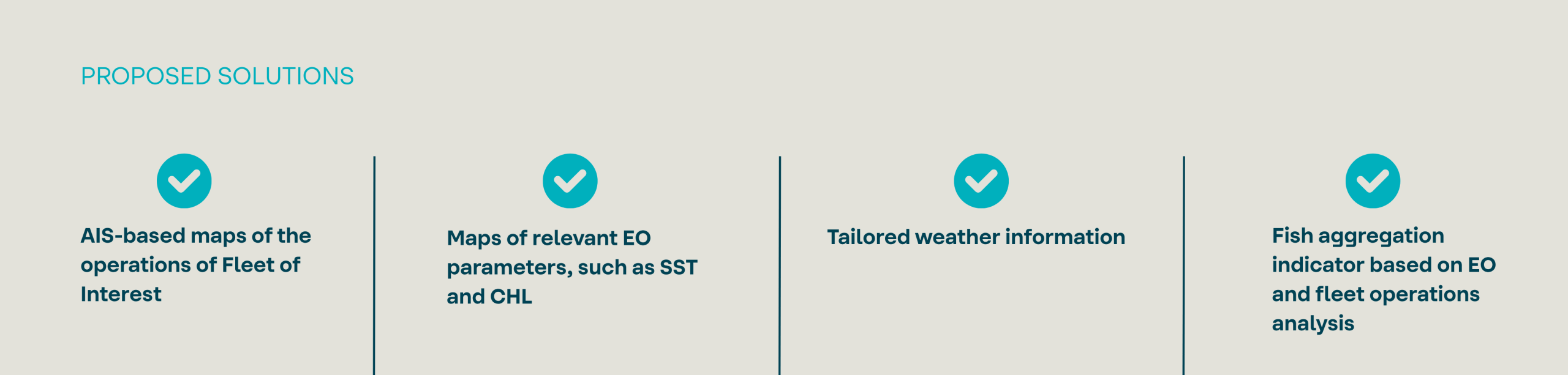
Within the cod fishery, excessive effort is invested on monitoring and following the activities of other vessels, resulting in large numbers of fishermen in the same area while other fishing grounds stay unexplored.
Despite the transparency and lack of competition, tailored data and indicators shall provide an incentive for captains to take risks by investing on unexplored areas. It is expected that the chances of finding the fish before the competition are increased, resulting in cost savings and reduction of the operation’s carbon footprint.
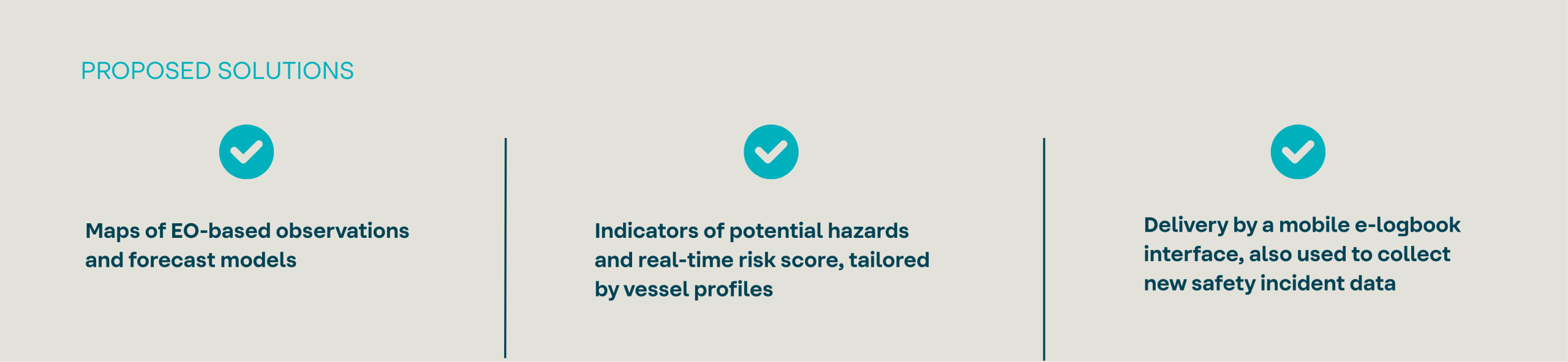
2- Safety at sea for small scale fisheries
Crews from small scale fleets need to handle hazardous and dynamic equipment on unstable platforms, facing frequently occurring extreme weather events that further increase the risk of occupational hazards. Most incidents affect small commercial vessels not exceeding 10 m in length, with limited communication capacity onboard.
3- Reduced impact from bycatch
Incidental captures (a.k.a. bycatch) hinders fishing operations efficiency and can impact the population of specific fragile species, affecting the marine ecosystem. It can be reduced by avoiding fishing grounds where a high density of bycatch species is predicted. Crossing this information with maps of anonymised fishing activity allows to evaluate the fisheries sustainability.
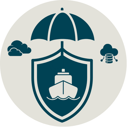
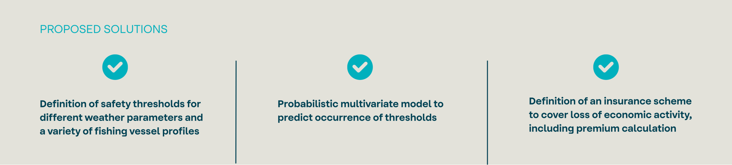
4- Parametric insurance for fisheries operators
Fishing operators are exposed to loss of economic activity due to weather, which is currently not covered by insurance. Severity and frequency indicators are to be provided to characterize thresholds for business interruption losses due to key metocean parameters (wind, wave, currents), and their expected occurrence.